Arab Canada News
News
Published: August 22, 2022
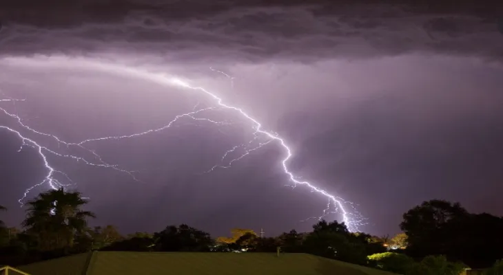
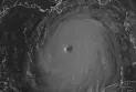
A thunderstorm on Monday afternoon may cause up to 50 mm of rain to fall on Toronto and its surrounding areas.
In a press release issued on Sunday, the Toronto Conservation Authority stated that the Canadian Environment Department expects widespread rain and thunderstorms this afternoon and late Monday.
While thunderstorms are expected to begin appearing around 4 PM, the statement said there is a possibility of multiple thunderstorms occurring at the same location simultaneously, which could lead to localized rainfall amounts of up to 50 mm.
The new forecast may reveal the expected weather for the winter season in Ontario, with thunderstorms hitting Toronto and its suburbs, and the watersheds in the Greater Toronto Area have already seen between five and 20 mm of rain in the past 24 hours, with about 53 mm recorded in the northern Etobicoke Creek watershed.
The press release stated: "Rising water levels may create hazardous conditions near rivers or other water bodies," advising people to avoid all recreational activities in or around water bodies at this time, including Lake Ontario, and parents and guardians are asked to keep children and pets away from riverbanks as they may become slippery or unstable after overnight rainfall.
Meanwhile, in a separate press release, the Credit Valley Conservation Authority said that "heavy rainfall" associated with thunderstorms may lead to water pooling on roads and in flood-prone urban areas. The organization, which monitors watersheds stretching from Mississauga in the south to Orangeville in the north, said some areas may also experience higher flows and water levels later this afternoon and into Monday.
Tuesday, 01 July 2025
--°C
--°C


Comments