Arab Canada News
News
Published: May 27, 2024
The Canadian Ministry of Environment confirmed that conditions are favorable for the development of severe thunderstorms, which may produce tornadoes.
A tornado warning was issued for Prescott and Russell at 2:04 PM. However, it ended within 10 minutes. Tornado monitoring is still in effect in the area.
Tornado warnings have been in effect in parts of Quebec, including the Mont Tremblant area, Saint-Agathe, and the Lachute area, as well as the Papineau area and the Chénéville area, but those warnings have since been downgraded to severe thunderstorm warnings.
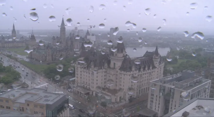
The weather agency issued a tornado warning for most of Eastern Ontario, including Ottawa-Gatineau. Strong winds of up to 90 km/h, large hail, and heavy rainfall are likely.
The weather statement said: "A line or area of thunderstorms is expected to move eastward across Eastern Ontario this afternoon. The main threats from these thunderstorms will be strong wind gusts and the threat of tornadoes."
Additionally, the moist air mass will allow storms to produce heavy rainfall.
The Canadian Environmental Agency stated that tornadoes are dangerous and may pose a life-threatening risk.
The statement read: "Be prepared for severe weather, seek shelter immediately if severe weather approaches."
Tornado monitoring is also in effect in the cities of Brockville, Perth, Smiths Falls, Cornwall, and Kingston. Severe thunderstorm monitoring is in effect in Western Quebec for the Upper Gatineau area, Lievre, Papineau, and Mont Tremblant.
The monitoring extends northward to Arnprior and Renfrew, but not in Pembroke, Deep River, or Barry's Bay.
Tornado watches are issued when conditions are favorable for the development of thunderstorms that can produce tornadoes, and tornado warnings are issued when the threat is imminent.
In the event of a tornado, or if a tornado warning is issued, the Canadian Environmental Agency advises you to go indoors to a room in the basement, away from outside walls and windows, such as the basement, bathroom, stairwell, or an interior closet.
The Canadian Environmental Agency stated: "Leave mobile homes, vehicles, tents, trailers, and other temporary or self-standing shelters, and move to a sturdy building if you can."
Monday's Forecast
The Canadian Environmental Agency's forecast for Monday indicates overcast skies with a 40 percent chance of rain late this morning. There is also a risk of thunderstorms early this morning.
Rain with thunderstorms is expected to begin early this afternoon, with a storm bringing between 30 to 40 mm of rain. The maximum temperature will be 23 degrees Celsius, with humidity at 28 degrees Celsius.
The thunderstorms are expected to end this evening, and the skies will remain partly cloudy with a 40 percent chance of rain.
Tuesday calls for more rain and thunderstorms, with rainfall expected to be between 5 to 10 mm.
Conditions are expected to improve later this week, with clouds anticipated on Wednesday and a mix of sun and clouds on Thursday. Temperatures will remain steady at around 20 degrees Celsius.
The weekend forecast calls for sunny skies.


Friday, 04 July 2025
--°C
--°C


Comments