Arab Canada News
News
Published: March 13, 2023
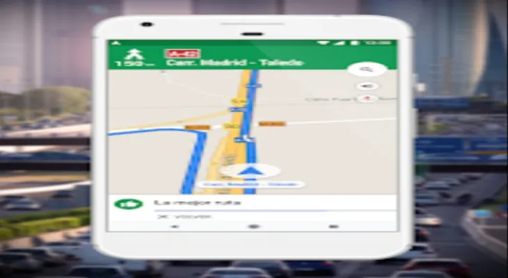
Google Maps has become widespread and very useful since its launch in 2005. We use the app to track traffic directions when driving or walking around places we are not familiar with. Many of us also use it when planning trips to learn about the prominent landmarks in the area we want to visit.
However, Google Maps includes many other features that may be unknown to many, such as: creating custom maps for a trip route and sharing them with others, using maps offline, and much more.
Here are 5 of the most prominent of these features:
1- Save Your Parking Location feature:
After parking your car, open Google Maps on your phone, and tap on the blue dot that shows your current location to open a list of options. Among these options, you will find the "Save parking" option. Tap on it, and the app will save your car’s parking location.
If you need help finding your car later, you can open Google Maps, tap the search bar, then tap on the "saved location" option to get directions to your car’s location.
Also, if you are able to return to your car without needing to track directions in the Google Maps app, you can delete this saved location marker by tapping on it, then choosing "More info," and then tapping the "Clear" button to delete it.
2- Ability to use Google Maps without internet:
If you are planning to go on a trip and might lose internet connection, you can download a map of the location you want to visit and save it in the Google Maps app to be able to use it for directions without internet. To download and save maps in the app, follow these steps:
- Open the Google Maps app on an Android or iPhone.
- Tap your account picture displayed in the top right corner.
- Tap on the "Offline maps" option, you will see any maps you have previously downloaded, and you will notice an option "Select Your Own Map," tap on this option, and select the map you want to save.
- After selecting the map, tap the "Download" button and the map will be saved in the "Offline maps" section and can be used anytime without internet.
3- Measuring distances between locations:
If you want to know the distance between two locations, Google Maps can help you with that; you can easily measure the distance between any two points on the world map. To do this, follow these steps:
If you are using a computer, open Google Maps, then select the first location and right-click on it.
- Click on the "Measure distance" option.
- Select the second location you want to know the distance from the first location you previously selected, and the distance between them will appear.
If you are using the Google Maps app on your phone, tap a specific point on the map to add a marker on it.
- Tap the marker, then choose "Measure distance" from the menu that appears.
- Select the second location to know the distance between it and the first location.
This feature helps in trip and travel planning, for example: if you are planning a trip in the city of Rome and want to visit multiple places on the same day but some people in your group cannot walk long distances, you can use this tool to know if the distance from your current location to that area can be covered by you and your group on foot or if you need to rely on public transportation to get there.
4- Custom Maps feature:
The next time you plan a trip with your friends, you can use the "Custom maps" feature in Google Maps to facilitate identifying the destinations you want to visit and share them with your friends.
This feature allows you to place markers over different destinations, group the markers together, and share your custom map that includes those destinations with others so they can add other destinations to it and know the trip route. To find this feature, follow these steps:
- Open Google Maps on your computer, and click the three-line menu button located in the top left corner.
- Click on "Your places," then click on the "Maps" tab located in the top right corner.
- Click on the "Create Map" option.
5- Live View feature to explore the city using Google Maps:
When you follow walking directions in Google Maps while wandering in a city you do not know much about, you can activate the Live View feature, which uses Augmented Reality (AR) technology to display information about the places you pass by.
You can use this feature to find famous landmarks in that city, stores, cafes, and restaurants on your path while walking, as well as details about business hours, customer reviews, locations of ATMs, and more.
Wednesday, 02 July 2025
--°C
--°C


Comments