Arab Canada News
News
Published: September 28, 2022
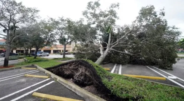
Hurricane Ian made landfall along the southwestern coast of Florida near Cayo Costa around 3:05 PM today, Wednesday, with winds close to 150 miles per hour, making it a powerful Category 4 hurricane, according to the National Hurricane Center. The storm brings a catastrophic trifecta of strong winds, heavy rains, and historic storms to the state and is expected to cause power outages and flooding as it moves slowly across central Florida over the next day or two.
Hurricane Ian is also associated with the strongest storm to hit the western coast of the Florida peninsula, matching the wind speeds struck by Hurricane Charley in 2004. Indeed, more than 800,000 utility customers in Florida were without power as of 3:45 PM, according to PowerOutage. Many areas of west-central Florida and inland face a disaster, as a "historic" storm reaching 18 feet could engulf coastal homes, rain could cause flooding across much of the state, and strong winds could flatten homes to the ground and interrupt electricity service for days or weeks.
In the same context, Chad Myers, a meteorology expert at CNN, said: "This is a severe wind and flood storm, all in one and it will spread throughout the state." Fort Myers Beach is expected to experience the storm's strength directly Wednesday afternoon. Also, Frank Looney, an architect from California, posted a video from a building balcony of some flooding in the streets below, stating: "The storm is very large, we see cars and boats floating in the street, and we see trees nearly bent in half. There is a great deal of chaos in the streets."
Tuesday, 01 July 2025
--°C
--°C


Comments